Alpine/Aoelian » Unit 2: Summer Every Day and Winter Every Night » Activity 1: What’s the Temperature at the Summit?
Materials & Setup
In Advance: Determine Your School’s Elevation
- Determine the approximate elevation of your school by looking on a topographic map. You or a student may use the map on page 21 of Atlas of Hawai’i, 2nd ed. (University of Hawai’i Press, 1983). For a more accurate determination, check a topographic map in an outdoor store or use an altimeter.
For the class
- Outdoor thermometer
- Access to the Internet
Instructions
1) Begin a discussion about the summit area of Haleakalā by asking students to think of questions they have about the top of the mountain. Students can be broken into small discussion groups to think about this for a few minutes, or this question can go to the class as a whole. (Instead of questions, you could have students list what comes to mind when they think about the top of the mountain.)
Write the questions or observations on the board. Ask which relate to climate factors such as air temperature, rain, or wind.
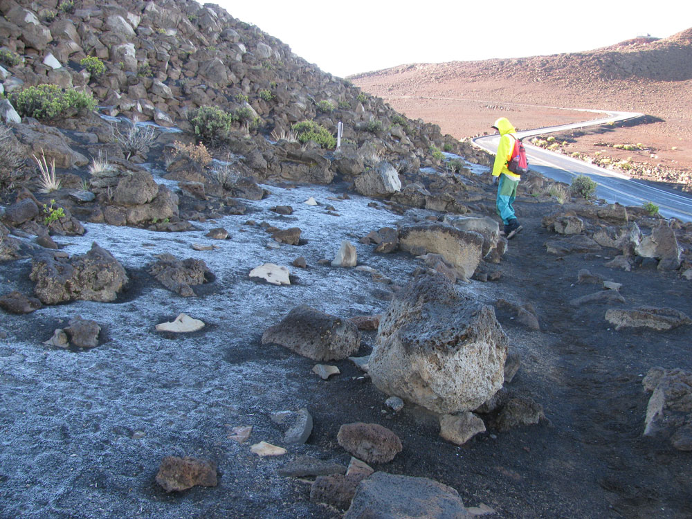
Ask students who have been to the top of Haleakalā to talk about the climate in the summit area. If you get comments such as “cold” or “windy,” that is a great starting point. But encourage students to think in more detail. What time of year were they at the summit? What time of day? Were the skies clear or cloudy? Do they remember driving through a layer of clouds or seeing clouds below them? Have they ever seen snow at the top?
2) Ask students to guess what the weather is currently like near the top of Haleakalā and to explain their reasoning. If you can look out at the mountain, do so.
3) Have students calculate an estimated temperature for the summit using the adiabatic lapse rate. Adiabatic lapse rate refers to how quickly an air mass cools or heats simply due to rising or sinking. Air temperature decreases with increasing elevation by approximately 3º F per 305 meters (1000 feet).
If students need help making this calculation, here are the steps:
- Determine the elevation of the school. Calculate the difference in elevation between the school and the summit, 3056 meters (10,023 feet).
- For each 305 meters (1000 feet) of elevation rise, the normal adiabatic lapse rate is approximately -3 degrees F. Therefore: (Difference in elevation/305) x -3º= Difference in temperature
- Add the negative temperature difference to the temperature at the school to get the estimated temperature at the summit.
4) Use the Internet to check the temperature at the summit. The URL is: http://www.ifa.hawaii.edu/haleakalanew/weather.shtml.
5) If there is a difference between their calculated temperature and the actual temperature at the summit, ask students to speculate about what might account for the discrepancy. Here are a few ideas to explore:
- Moisture content of the air mass. Dry air changes temperature at a rate of approximately 5.4º F per 305 meters (1000 feet). But an air mass saturated with water vapor cools more slowly than a drier air mass. This is because moisture condenses as the air mass rises, releasing heat and slowing the cooling rate. This “moist adiabatic lapse rate” varies greatly. As the air mass rises, cools, and loses moisture, the lapse rate increases and approaches the dry adiabatic lapse rate.
- Location on the island. If your school is on West Maui, your calculations for Haleakalā may not be accurate because the temperature at your elevation may be significantly different than it would be if you were making these calculations from the flanks of Haleakalā.
- Temperature inversion. When trade winds are consistent, there is often a pronounced “temperature inversion” in the atmosphere around Haleakalā. This is an area where the air mass on top is warmer than that underneath. This “upside down” air temperature pattern may interfere with normal lapse rates. Students explore this phenomenon more fully in Activity #2 “Mauna Lei Mystery.”
Journal Ideas
- None
Assessment Tools
- None
Media Resources
- None

